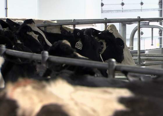
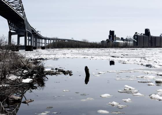
Wisconsin's agricultural bounty is possible thanks in part to the state's voluminous supply of freshwater. At the same time, the use of this resource to grow crops and nourish livestock poses risks to the quality of these waters.
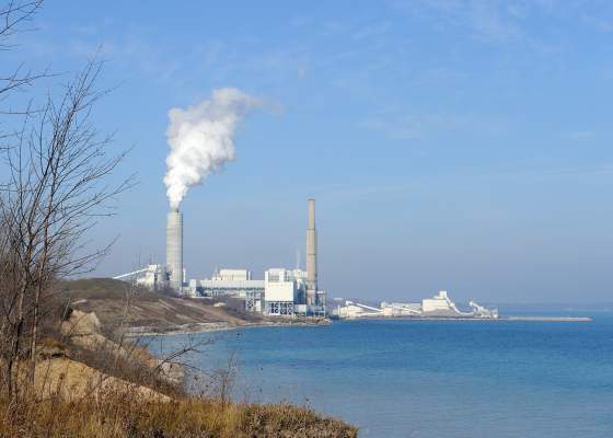
Sometimes pollution is dramatic, like aerial footage of a 2011 coal ash pond collapse that sent toxic contents onto the beach and into Lake Michigan in Oak Creek, just south of Milwaukee.
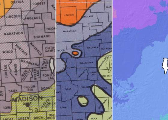
In a world with a changing climate, just how accurate are hardiness zone maps, and how do their makers continue to ensure these tools are as useful as possible?
With peak tick season imminent in the upper Midwest, researchers are hopeful more people will download and use a free smartphone app that helps track and identify the tiny arachnids.
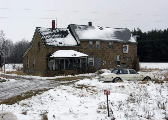
In the 1960s and 1970s, several dozen rural taverns were located within a 7-mile radius from the center of the city of Marshfield. But by the end of the 20th century, more than three-fourths had closed their doors.